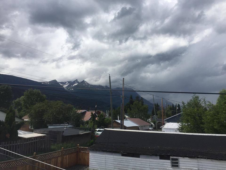
If you enjoy a watching a good storm, you may be in luck.
Environment Canada has issued a severe thunderstorm watch for the Bulkley Valley and Lakes District (BVLD).
With specifics of the current weather system being tracked, here’s Meteorologist Matt MacDonald.
“The conditions in the BVLD are perfect right now for a potential thunderstorm. We’ve got a couple ingredients that play into that. There’s obviously some heat in the area but you’ll notice it’s relatively muggy outside as well. There’s a trough of low-pressure currently making its way through the region so no matter where you are, I’d keep a watchful eye out for darkening clouds.”
MacDonald says these storm cells are currently being tracked from as far West as Smithers and as far East as Prince George.
“These sort of weather systems aren’t really your garden variety thunderstorms. They’ve got a little bit more energy and are more dangerous than your typical storm. The type of storm we’re expecting this afternoon could include intense lightning, heavy downpour, strong wind gusts, and potentially hail.”
MacDonald says the best chance for these storms to develop would be between 4 and 8 pm. After that, he expects things to even out early this evening.
“We’re expecting these cells to lose their energy sometime tonight. Heading into tomorrow, we’re still anticipating some unsettled weather for the BVLD. Expect things to cool off tomorrow with that storm activity regaining traction around Thursday-Friday of this week.”
MacDonald finished by saying when thunder roars, stay indoors!
Something going on in the Bulkley Valley Lakes District you think people should know about?
Send us a news tip by emailing [email protected].


